Wyllie War Memorial
Introduction
The photograph on this page of Wyllie War Memorial by Jaggery as part of the Geograph project.
The Geograph project started in 2005 with the aim of publishing, organising and preserving representative images for every square kilometre of Great Britain, Ireland and the Isle of Man.

There are currently over 7.5m images from over 14,400 individuals and you can help contribute to the project by visiting https://www.geograph.org.uk
Wyllie War Memorial
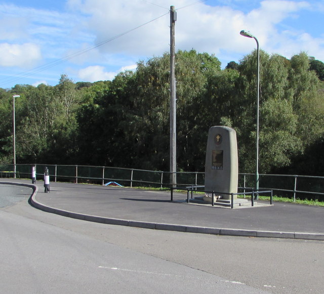
Image: © Jaggery Taken: 24 Sep 2018
Alongside Glanhowy Road opposite The Avenue, viewed in September 2018. An April 2011 Google Earth Street View shows a BT phonebox where the Memorial is now.
Images are licensed for reuse under creativecommons.org/licenses/by-sa/2.0
Image Location
Latitude
51.638855
Longitude
-3.190083