River Livet
Introduction
The photograph on this page of River Livet by valenta as part of the Geograph project.
The Geograph project started in 2005 with the aim of publishing, organising and preserving representative images for every square kilometre of Great Britain, Ireland and the Isle of Man.

There are currently over 7.5m images from over 14,400 individuals and you can help contribute to the project by visiting https://www.geograph.org.uk
River Livet
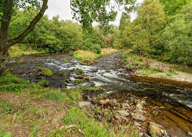
Image: © valenta Taken: 15 Sep 2018
Looking upstream of the Old Bridge of Livet where the river cuts a channel to form an island in a bend in the river
Images are licensed for reuse under creativecommons.org/licenses/by-sa/2.0
Image Location
Latitude
57.354462
Longitude
-3.336394