Ribble Steam Railway crossing Navigation Way
Introduction
The photograph on this page of Ribble Steam Railway crossing Navigation Way by Chris Allen as part of the Geograph project.
The Geograph project started in 2005 with the aim of publishing, organising and preserving representative images for every square kilometre of Great Britain, Ireland and the Isle of Man.

There are currently over 7.5m images from over 14,400 individuals and you can help contribute to the project by visiting https://www.geograph.org.uk
Ribble Steam Railway crossing Navigation Way
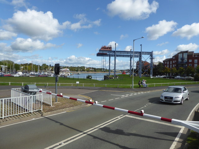
Image: © Chris Allen Taken: 23 Sep 2018
The marina and Albert Edward Dock are seen beyond with a most impressive crane overhanging the dock. This was a grab shot from a moving train. I am sure the dock was once much more interesting before it was gentrified.
Images are licensed for reuse under creativecommons.org/licenses/by-sa/2.0
Image Location
Latitude
53.759184
Longitude
-2.743949