Former Road Between Rougham and Bury St Edmunds
Introduction
The photograph on this page of Former Road Between Rougham and Bury St Edmunds by Stuart Shepherd as part of the Geograph project.
The Geograph project started in 2005 with the aim of publishing, organising and preserving representative images for every square kilometre of Great Britain, Ireland and the Isle of Man.

There are currently over 7.5m images from over 14,400 individuals and you can help contribute to the project by visiting https://www.geograph.org.uk
Former Road Between Rougham and Bury St Edmunds
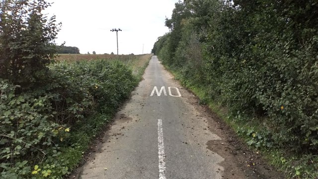
Image: © Stuart Shepherd Taken: 23 Sep 2018
Now closed to traffic and serving as an off-road cycle route.
Images are licensed for reuse under creativecommons.org/licenses/by-sa/2.0
Image Location
Latitude
52.234761
Longitude
0.760922