House, The Green, Rennington
Introduction
The photograph on this page of House, The Green, Rennington by Graham Robson as part of the Geograph project.
The Geograph project started in 2005 with the aim of publishing, organising and preserving representative images for every square kilometre of Great Britain, Ireland and the Isle of Man.

There are currently over 7.5m images from over 14,400 individuals and you can help contribute to the project by visiting https://www.geograph.org.uk
House, The Green, Rennington
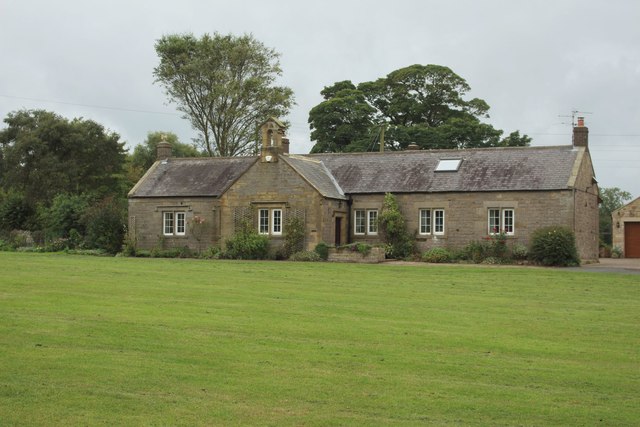
Image: © Graham Robson Taken: 10 Sep 2018
From its appearance this building looks like a former school which has now been converted into a house.
Images are licensed for reuse under creativecommons.org/licenses/by-sa/2.0
Image Location
Latitude
55.459269
Longitude
-1.668049