Brighton Lifeboat Station
Introduction
The photograph on this page of Brighton Lifeboat Station by Mike Faherty as part of the Geograph project.
The Geograph project started in 2005 with the aim of publishing, organising and preserving representative images for every square kilometre of Great Britain, Ireland and the Isle of Man.

There are currently over 7.5m images from over 14,400 individuals and you can help contribute to the project by visiting https://www.geograph.org.uk
Brighton Lifeboat Station
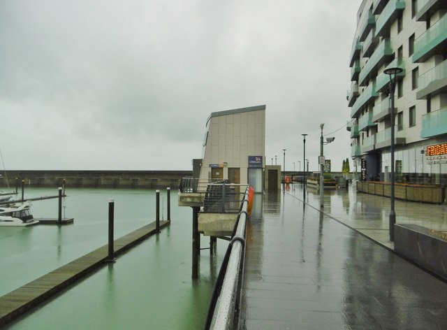
Image: © Mike Faherty Taken: 22 Sep 2018
At the end of West Quay. The slipway and boat are out of sight, at a lower level, covered and out of sight. https://rnli.org/find-my-nearest/lifeboat-stations/brighton-lifeboat-station
Images are licensed for reuse under creativecommons.org/licenses/by-sa/2.0
Image Location
Latitude
50.81078
Longitude
-0.104246