The path from Calstock Station to the village
Introduction
The photograph on this page of The path from Calstock Station to the village by Ruth Sharville as part of the Geograph project.
The Geograph project started in 2005 with the aim of publishing, organising and preserving representative images for every square kilometre of Great Britain, Ireland and the Isle of Man.

There are currently over 7.5m images from over 14,400 individuals and you can help contribute to the project by visiting https://www.geograph.org.uk
The path from Calstock Station to the village
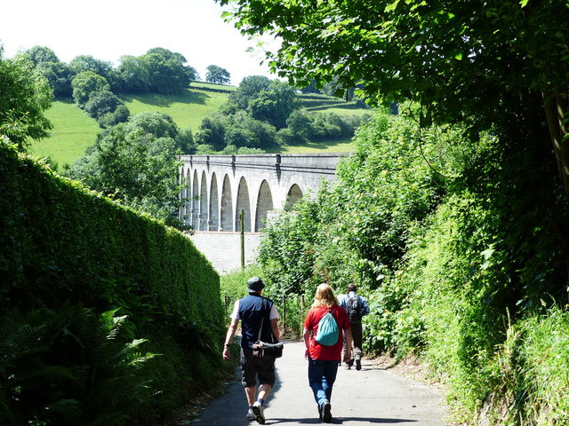
Image: © Ruth Sharville Taken: 13 Jun 2017
Calstock Viaduct is seen in the middle distance.
Images are licensed for reuse under creativecommons.org/licenses/by-sa/2.0
Image Location
Latitude
50.497291
Longitude
-4.2095