Wiltshire Gardens "Maisonettes" 2007
Introduction
The photograph on this page of Wiltshire Gardens "Maisonettes" 2007 by Mac McCarron as part of the Geograph project.
The Geograph project started in 2005 with the aim of publishing, organising and preserving representative images for every square kilometre of Great Britain, Ireland and the Isle of Man.

There are currently over 7.5m images from over 14,400 individuals and you can help contribute to the project by visiting https://www.geograph.org.uk
Wiltshire Gardens "Maisonettes" 2007
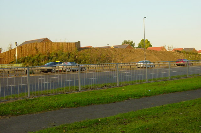
Image: © Mac McCarron Taken: 20 Oct 2007
The maisonettes were demolished and the land sold for private housing.
Images are licensed for reuse under creativecommons.org/licenses/by-sa/2.0
Image Location
Latitude
54.999794
Longitude
-1.547887