Lightwater: Guildford Road
Introduction
The photograph on this page of Lightwater: Guildford Road by Nigel Cox as part of the Geograph project.
The Geograph project started in 2005 with the aim of publishing, organising and preserving representative images for every square kilometre of Great Britain, Ireland and the Isle of Man.

There are currently over 7.5m images from over 14,400 individuals and you can help contribute to the project by visiting https://www.geograph.org.uk
Lightwater: Guildford Road
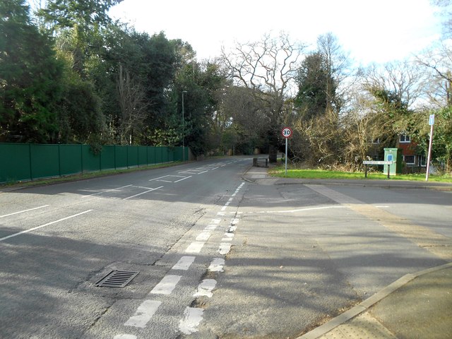
Image: © Nigel Cox Taken: 28 Feb 2016
This is Guildford Road, once the A322, at the junction with Riverside Avenue. Riverside is perhaps a misnomer as the only watercourse in the vicinity is a small stream, barely a metre wide, that discharges from a lake on the left side of the road, under the road, through the Riverside Avenue estate and down under the A322 Lightwater Bypass to join Windle Brook. The green cabinet on the right contains an Environment Agency gauging station that would warn of dangerously high or fast water flows from the lake that could potentially cause a flood event in the estate downstream.
Images are licensed for reuse under creativecommons.org/licenses/by-sa/2.0
Image Location
Latitude
51.34826
Longitude
-0.661566