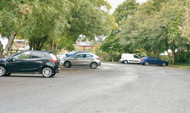
The Lagan canal (site of), Stranmillis, Belfast (September 2018)
Introduction
The photograph on this page of The Lagan canal (site of), Stranmillis, Belfast (September 2018) by Albert Bridge as part of the Geograph project.
The Geograph project started in 2005 with the aim of publishing, organising and preserving representative images for every square kilometre of Great Britain, Ireland and the Isle of Man.
There are currently over 7.5m images from over 14,400 individuals and you can help contribute to the project by visiting https://www.geograph.org.uk

Image: © Albert Bridge Taken: 21 Sep 2018
The former Lagan Canal, at the Lockview Road, 60 years after formal abandonment, now in-filled and used as a car park. Little trace remains except, perhaps for some minor relics https://www.geograph.org.uk/snippet/2402 here Image (August 2008). The northern entrance to no 1 lock was approximately opposite today’s Lockview Court. The southern entrance was just west of the weir Image - not to be confused with this lock Image which allowed river traffic to bypass the weir on the east. In 1900 the Lagan Navigation (the river and the canal) handled just over 100,000 tons of goods. By 1950 traffic dropped to around 20,000 tons and had disappeared completely by 1955. The 1951 street directory, for the Lockview Road, shows “6a. Inland Navigation Co., R. L. Kemp, Proprietor 6b. Lagan Navigation Co. - S. Mairs, F.C.C.S., secretary; F. Patterson, Bank Ranger”. The area, once industrial is now residential and recreational with the car park used mainly by walkers and cyclists heading towards the towpath. There were significant changes with demolition and clearance for construction of the Governor’s Bridge. For further reading see “The Canals of the North of Ireland” by WA McCutcheon, David & Charles, 1965.

