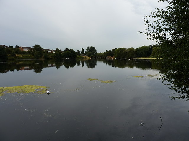
Middle Witton Reservoir
Introduction
The photograph on this page of Middle Witton Reservoir by Richard Law as part of the Geograph project.
The Geograph project started in 2005 with the aim of publishing, organising and preserving representative images for every square kilometre of Great Britain, Ireland and the Isle of Man.
There are currently over 7.5m images from over 14,400 individuals and you can help contribute to the project by visiting https://www.geograph.org.uk

Image: © Richard Law Taken: 9 Aug 2018
The western-most of the two lakes near Short Heath, the other being Image, and the third being Image which was formerly known as Lower Witton Reservoir. All were created around the middle of the 19th century by the City Corporation to provide a water supply to Brum, at a time when the streams feeding them ran through clean agricultural land. When that ceased to be the case, the Victorians piped water into the city from mid Wales (the Elan Valley complex) and the old reservoirs are now a wildfowl reserve and boating amenity.

