Canalside industry in Leicester
Introduction
The photograph on this page of Canalside industry in Leicester by Roger Kidd as part of the Geograph project.
The Geograph project started in 2005 with the aim of publishing, organising and preserving representative images for every square kilometre of Great Britain, Ireland and the Isle of Man.

There are currently over 7.5m images from over 14,400 individuals and you can help contribute to the project by visiting https://www.geograph.org.uk
Canalside industry in Leicester
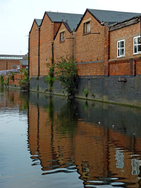
Image: © Roger Kidd Taken: 25 Aug 2013
This is a canalised section of the Grand Union Canal/Soar Navigation north of Limekiln Lock, No 43. The canal is level with the nearby River Soar (off to the left past Frog Island) so is prone to slight flooding when the river is high. Drainage is over the weir by Belgrave Lock. On the right are industrial buildings which have frontages in Marjorie Street.
Images are licensed for reuse under creativecommons.org/licenses/by-sa/2.0
Image Location
Latitude
52.647718
Longitude
-1.12835