Grand Union Canal/Soar Navigation in Leicester
Introduction
The photograph on this page of Grand Union Canal/Soar Navigation in Leicester by Roger Kidd as part of the Geograph project.
The Geograph project started in 2005 with the aim of publishing, organising and preserving representative images for every square kilometre of Great Britain, Ireland and the Isle of Man.

There are currently over 7.5m images from over 14,400 individuals and you can help contribute to the project by visiting https://www.geograph.org.uk
Grand Union Canal/Soar Navigation in Leicester
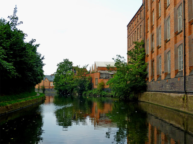
Image: © Roger Kidd Taken: 25 Aug 2013
This is a canalised section of the Grand Union Canal/Soar Navigation north of Limekiln Lock, No 43. On the right are some of the converted Abbey Mill buildings.
Images are licensed for reuse under creativecommons.org/licenses/by-sa/2.0
Image Location


Leaflet Map data © OpenStreetMap
Latitude
52.646817
Longitude
-1.128072