Road junction at Matching
Introduction
The photograph on this page of Road junction at Matching by Trevor Harris as part of the Geograph project.
The Geograph project started in 2005 with the aim of publishing, organising and preserving representative images for every square kilometre of Great Britain, Ireland and the Isle of Man.

There are currently over 7.5m images from over 14,400 individuals and you can help contribute to the project by visiting https://www.geograph.org.uk
Road junction at Matching
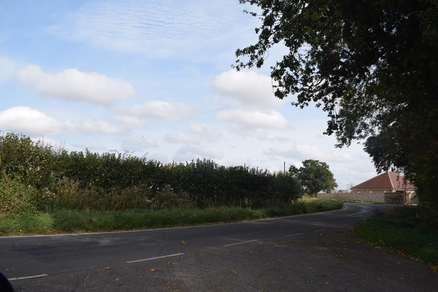
Image: © Trevor Harris Taken: 20 Sep 2018
Looking east along Downhall Road from the end of the lane to Matching Church and Hall.
Images are licensed for reuse under creativecommons.org/licenses/by-sa/2.0
Image Location
Latitude
51.787413
Longitude
0.218878