Public footpath from Back Walls to Sheep Street, Stow-on-the-Wold
Introduction
The photograph on this page of Public footpath from Back Walls to Sheep Street, Stow-on-the-Wold by Jaggery as part of the Geograph project.
The Geograph project started in 2005 with the aim of publishing, organising and preserving representative images for every square kilometre of Great Britain, Ireland and the Isle of Man.

There are currently over 7.5m images from over 14,400 individuals and you can help contribute to the project by visiting https://www.geograph.org.uk
Public footpath from Back Walls to Sheep Street, Stow-on-the-Wold
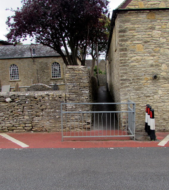
Image: © Jaggery Taken: 18 Sep 2018
Pointing ahead, a sign https://www.geograph.org.uk/photo/5913459 near the camera shows Gloucestershire Way Public Footpath. Stow Baptist Church https://www.geograph.org.uk/photo/5913383 is on the left.
Images are licensed for reuse under creativecommons.org/licenses/by-sa/2.0
Image Location
Latitude
51.928588
Longitude
-1.722473