Path past the western edge of Stow Baptist Church, Stow-on-the-Wold
Introduction
The photograph on this page of Path past the western edge of Stow Baptist Church, Stow-on-the-Wold by Jaggery as part of the Geograph project.
The Geograph project started in 2005 with the aim of publishing, organising and preserving representative images for every square kilometre of Great Britain, Ireland and the Isle of Man.

There are currently over 7.5m images from over 14,400 individuals and you can help contribute to the project by visiting https://www.geograph.org.uk
Path past the western edge of Stow Baptist Church, Stow-on-the-Wold
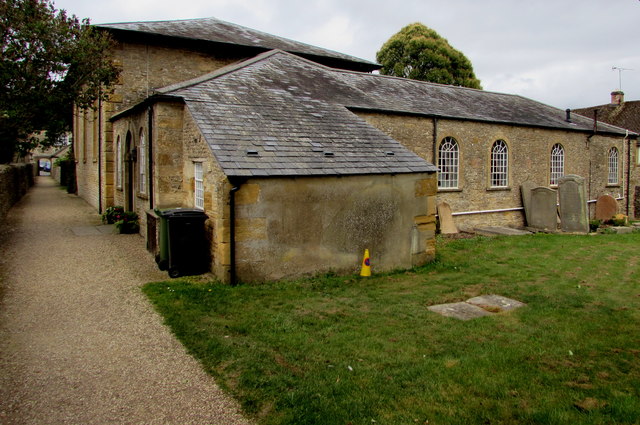
Image: © Jaggery Taken: 18 Sep 2018
A notice near the camera states that this is not a public right of way - access to manse and church grounds only. The Grade II listed church dates from 1852.
Images are licensed for reuse under creativecommons.org/licenses/by-sa/2.0
Image Location


Leaflet Map data © OpenStreetMap
Latitude
51.928949
Longitude
-1.722762