Elm Farm, Eaton
Introduction
The photograph on this page of Elm Farm, Eaton by Kate Jewell as part of the Geograph project.
The Geograph project started in 2005 with the aim of publishing, organising and preserving representative images for every square kilometre of Great Britain, Ireland and the Isle of Man.

There are currently over 7.5m images from over 14,400 individuals and you can help contribute to the project by visiting https://www.geograph.org.uk
Elm Farm, Eaton
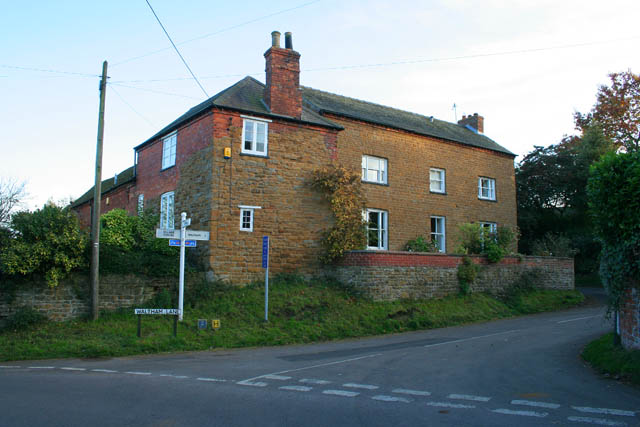
Image: © Kate Jewell Taken: 21 Oct 2007
This old farmhouse has been a private home for years. It gives its name to Elm Lane the turning to the left beyond the wall, far right of the photograph. Waltham Lane is a very narrow road, single track most of the way. Careful drivers travel via Branston and the main A607 to get to Waltham.
Images are licensed for reuse under creativecommons.org/licenses/by-sa/2.0
Image Location
Latitude
52.852093
Longitude
-0.820276