The Bourne: Looking upstream from the Broadford Lane bridge in Chobham
Introduction
The photograph on this page of The Bourne: Looking upstream from the Broadford Lane bridge in Chobham by Nigel Cox as part of the Geograph project.
The Geograph project started in 2005 with the aim of publishing, organising and preserving representative images for every square kilometre of Great Britain, Ireland and the Isle of Man.

There are currently over 7.5m images from over 14,400 individuals and you can help contribute to the project by visiting https://www.geograph.org.uk
The Bourne: Looking upstream from the Broadford Lane bridge in Chobham
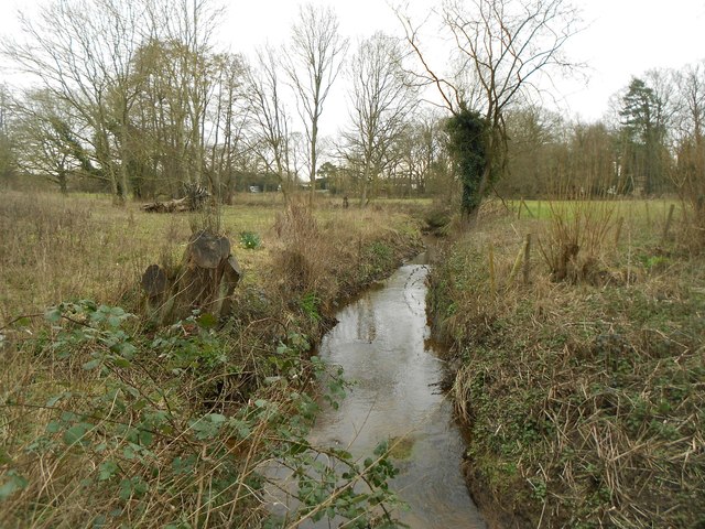
Image: © Nigel Cox Taken: 28 Feb 2016
This is the view of The Bourne looking upstream from the Broadford Lane bridge. Broadford Lane is a bridleway that connects Castle Grove Road with Station Road and Sandpit Hall Road around the southern side of Chobham.
Images are licensed for reuse under creativecommons.org/licenses/by-sa/2.0
Image Location


Leaflet Map data © OpenStreetMap
Latitude
51.34196
Longitude
-0.599582