Path to Stuart Avenue
Introduction
The photograph on this page of Path to Stuart Avenue by Lairich Rig as part of the Geograph project.
The Geograph project started in 2005 with the aim of publishing, organising and preserving representative images for every square kilometre of Great Britain, Ireland and the Isle of Man.

There are currently over 7.5m images from over 14,400 individuals and you can help contribute to the project by visiting https://www.geograph.org.uk
Path to Stuart Avenue
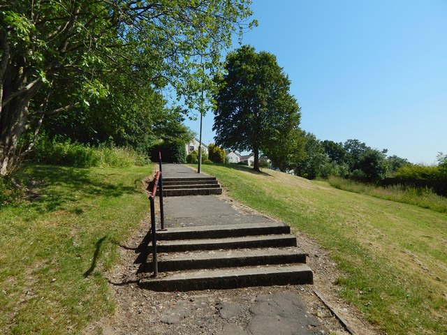
Image: © Lairich Rig Taken: 29 Jun 2018
The path branches off from a Image (itself part of an old avenue leading to Image). It branches off at a point lower than the one from which that picture was taken. The path shown here in fact leads to Stuart Road, Fraser Avenue, Campbell Terrace, and other streets joined to the southern half of Campbell Avenue; the title merely refers to the nearest of them.
Images are licensed for reuse under creativecommons.org/licenses/by-sa/2.0
Image Location
Latitude
55.9487
Longitude
-4.541907