Ashfield Approach
Introduction
The photograph on this page of Ashfield Approach by Raymond Okonski as part of the Geograph project.
The Geograph project started in 2005 with the aim of publishing, organising and preserving representative images for every square kilometre of Great Britain, Ireland and the Isle of Man.

There are currently over 7.5m images from over 14,400 individuals and you can help contribute to the project by visiting https://www.geograph.org.uk
Ashfield Approach
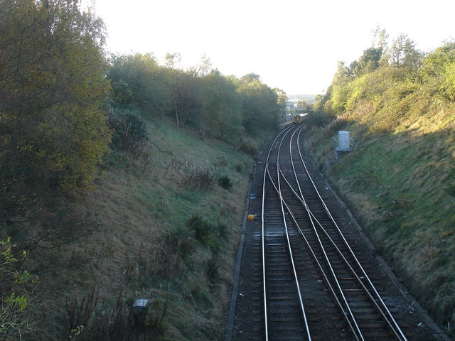
Image: © Raymond Okonski Taken: 19 Oct 2007
A diesel commuter train calls at Ashfield station on a reopened section of track providing passenger services to Maryhill and Anniesland. The crossover provides a connection to the northbound main line to Bishopbriggs and beyond.
Images are licensed for reuse under creativecommons.org/licenses/by-sa/2.0
Image Location
Latitude
55.888755
Longitude
-4.245958