St Dogmaels
Introduction
The photograph on this page of St Dogmaels by M J Roscoe as part of the Geograph project.
The Geograph project started in 2005 with the aim of publishing, organising and preserving representative images for every square kilometre of Great Britain, Ireland and the Isle of Man.

There are currently over 7.5m images from over 14,400 individuals and you can help contribute to the project by visiting https://www.geograph.org.uk
St Dogmaels
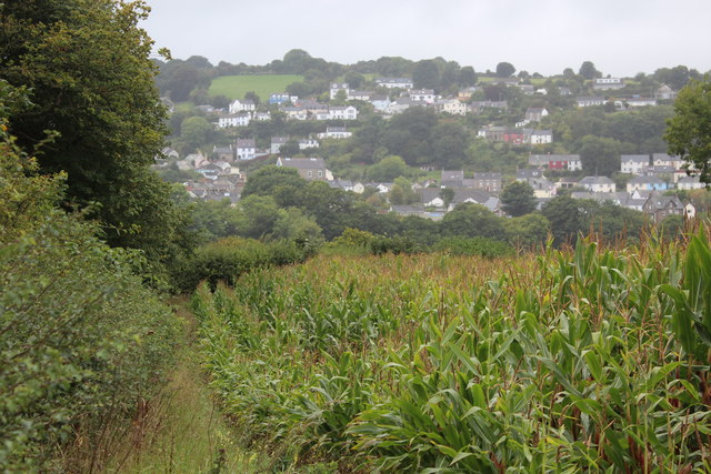
Image: © M J Roscoe Taken: 17 Sep 2018
Part of the riverside village viewed across the Afon Teifi from the Wales Coast Path by a field of maize on an overcast day.
Images are licensed for reuse under creativecommons.org/licenses/by-sa/2.0
Image Location
Latitude
52.081944
Longitude
-4.683656