Crowthorn from the Naze
Introduction
The photograph on this page of Crowthorn from the Naze by liz dawson as part of the Geograph project.
The Geograph project started in 2005 with the aim of publishing, organising and preserving representative images for every square kilometre of Great Britain, Ireland and the Isle of Man.

There are currently over 7.5m images from over 14,400 individuals and you can help contribute to the project by visiting https://www.geograph.org.uk
Crowthorn from the Naze
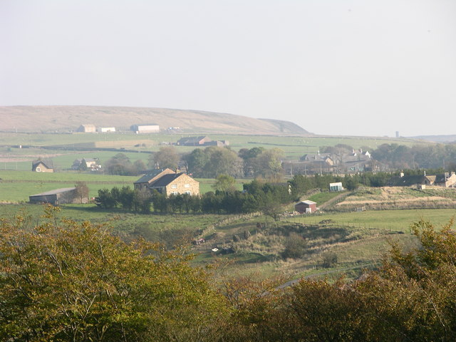
Image: © liz dawson Taken: 20 Oct 2007
The buildings of the now closed Crowthorn school are seen. http://www.geograph.org.uk/photo/366941 Quarlton heights is behind with the top of Peel Tower in the distance.
Images are licensed for reuse under creativecommons.org/licenses/by-sa/2.0
Image Location
Latitude
53.659579
Longitude
-2.384921