Old Salisbury Lane at Roke Manor entrance
Introduction
The photograph on this page of Old Salisbury Lane at Roke Manor entrance by Robin Webster as part of the Geograph project.
The Geograph project started in 2005 with the aim of publishing, organising and preserving representative images for every square kilometre of Great Britain, Ireland and the Isle of Man.

There are currently over 7.5m images from over 14,400 individuals and you can help contribute to the project by visiting https://www.geograph.org.uk
Old Salisbury Lane at Roke Manor entrance
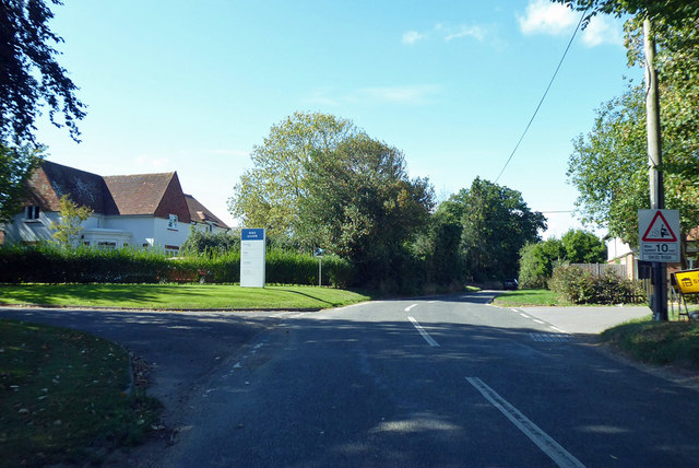
Image: © Robin Webster Taken: 16 Sep 2018
Roke Manor down a drive to the left is now a research and development establishment for communications and related electronic systems and devices.
Images are licensed for reuse under creativecommons.org/licenses/by-sa/2.0
Image Location
Latitude
51.004141
Longitude
-1.519797