The view north from the Dalwhinnie level crossing
Introduction
The photograph on this page of The view north from the Dalwhinnie level crossing by John Lucas as part of the Geograph project.
The Geograph project started in 2005 with the aim of publishing, organising and preserving representative images for every square kilometre of Great Britain, Ireland and the Isle of Man.

There are currently over 7.5m images from over 14,400 individuals and you can help contribute to the project by visiting https://www.geograph.org.uk
The view north from the Dalwhinnie level crossing
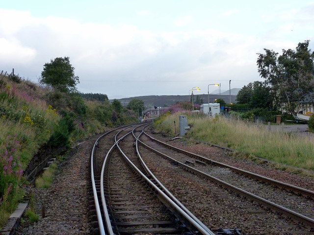
Image: © John Lucas Taken: 4 Sep 2012
Signalling on the Highland main line continues to be mainly semaphore. Current plans suggest that it will be upgraded in 2022/23.
Images are licensed for reuse under creativecommons.org/licenses/by-sa/2.0
Image Location
Latitude
56.933717
Longitude
-4.246933