Winding lane east of Heybridge
Introduction
The photograph on this page of Winding lane east of Heybridge by Stefan Czapski as part of the Geograph project.
The Geograph project started in 2005 with the aim of publishing, organising and preserving representative images for every square kilometre of Great Britain, Ireland and the Isle of Man.

There are currently over 7.5m images from over 14,400 individuals and you can help contribute to the project by visiting https://www.geograph.org.uk
Winding lane east of Heybridge
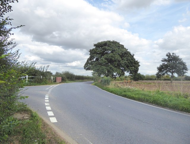
Image: © Stefan Czapski Taken: 15 Sep 2018
This is actually the B1026 Maldon-Heybridge-Tolleshunt D'Arcy road. Wash Lane joins from the left.
Images are licensed for reuse under creativecommons.org/licenses/by-sa/2.0
Image Location


Leaflet Map data © OpenStreetMap
Latitude
51.739885
Longitude
0.7331