Path between Back Callender Street and Albert Street
Introduction
The photograph on this page of Path between Back Callender Street and Albert Street by Christine Johnstone as part of the Geograph project.
The Geograph project started in 2005 with the aim of publishing, organising and preserving representative images for every square kilometre of Great Britain, Ireland and the Isle of Man.

There are currently over 7.5m images from over 14,400 individuals and you can help contribute to the project by visiting https://www.geograph.org.uk
Path between Back Callender Street and Albert Street
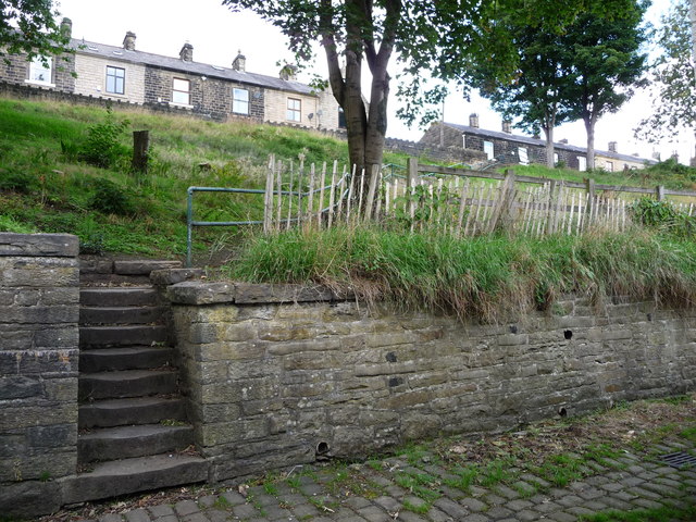
Image: © Christine Johnstone Taken: 6 Sep 2018
Up the steep sides of the Irwell valley. This geography created the water power for the early textile mills in Ramsbottom.
Images are licensed for reuse under creativecommons.org/licenses/by-sa/2.0
Image Location


Leaflet Map data © OpenStreetMap
Latitude
53.647635
Longitude
-2.320519