#2 Normanton Lane
Introduction
The photograph on this page of #2 Normanton Lane by Roger Templeman as part of the Geograph project.
The Geograph project started in 2005 with the aim of publishing, organising and preserving representative images for every square kilometre of Great Britain, Ireland and the Isle of Man.

There are currently over 7.5m images from over 14,400 individuals and you can help contribute to the project by visiting https://www.geograph.org.uk
#2 Normanton Lane
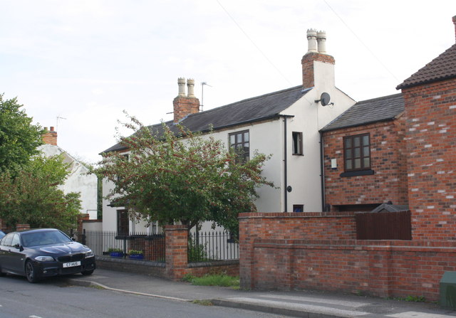
Image: © Roger Templeman Taken: 14 Sep 2018
Ordnance Survey documents indicate that in 1966 a benchmark levelled at 68.251m above Newlyn Datum was verified on the side rear corner of a house on this site. See www.bench-marks.org.uk/bm119876
Images are licensed for reuse under creativecommons.org/licenses/by-sa/2.0
Image Location
Latitude
52.877269
Longitude
-1.086014