The dry bed of the River Misbourne
Introduction
The photograph on this page of The dry bed of the River Misbourne by Steve Daniels as part of the Geograph project.
The Geograph project started in 2005 with the aim of publishing, organising and preserving representative images for every square kilometre of Great Britain, Ireland and the Isle of Man.

There are currently over 7.5m images from over 14,400 individuals and you can help contribute to the project by visiting https://www.geograph.org.uk
The dry bed of the River Misbourne
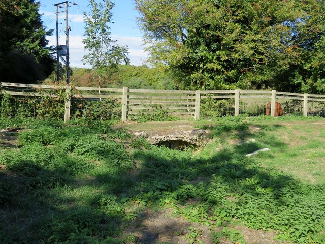
Image: © Steve Daniels Taken: 16 Sep 2018
The winterbourne section of the River Misbourne only flows when groundwater levels are high enough.
Images are licensed for reuse under creativecommons.org/licenses/by-sa/2.0
Image Location
Latitude
51.705385
Longitude
-0.706483