Thames channel and St Frideswide, from Osney Town bridge
Introduction
The photograph on this page of Thames channel and St Frideswide, from Osney Town bridge by Chris Brown as part of the Geograph project.
The Geograph project started in 2005 with the aim of publishing, organising and preserving representative images for every square kilometre of Great Britain, Ireland and the Isle of Man.

There are currently over 7.5m images from over 14,400 individuals and you can help contribute to the project by visiting https://www.geograph.org.uk
Thames channel and St Frideswide, from Osney Town bridge
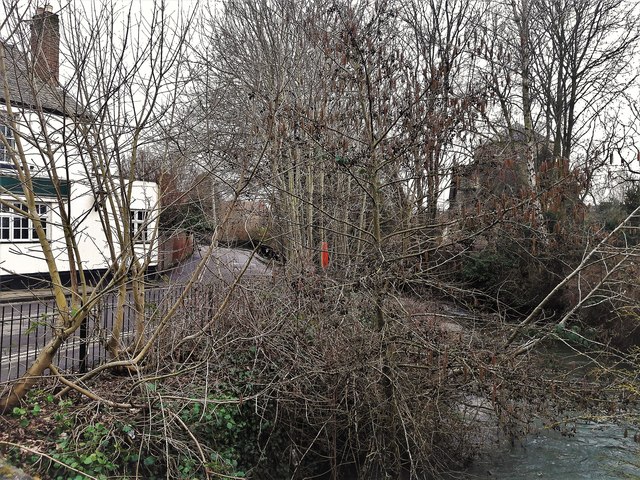
Image: © Chris Brown Taken: 24 Mar 2018
Osney Island and West Street with the Hollybush pub are on the left bank; St Frideswide on the right. In fact the land on the right is also islanded, by the channels of the Bulstake Stream.
Images are licensed for reuse under creativecommons.org/licenses/by-sa/2.0
Image Location
Latitude
51.751895
Longitude
-1.274771