Scrub land near Franche
Introduction
The photograph on this page of Scrub land near Franche by Bill Boaden as part of the Geograph project.
The Geograph project started in 2005 with the aim of publishing, organising and preserving representative images for every square kilometre of Great Britain, Ireland and the Isle of Man.

There are currently over 7.5m images from over 14,400 individuals and you can help contribute to the project by visiting https://www.geograph.org.uk
Scrub land near Franche
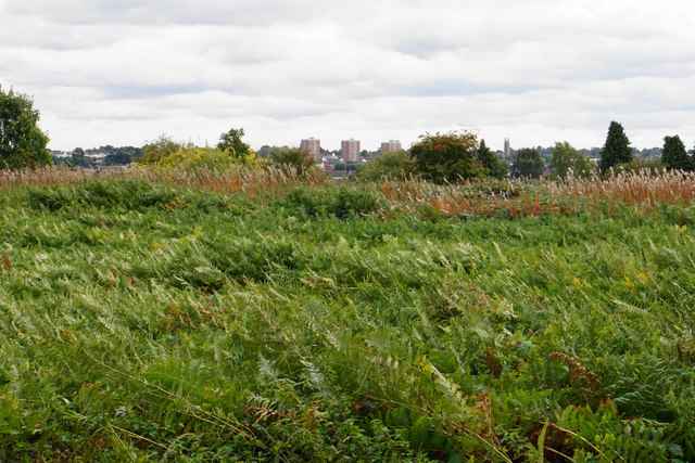
Image: © Bill Boaden Taken: 14 Sep 2018
This land has so far escaped housing development. There is a trig pillar somewhere near though I didn't go looking for it. You can see some of the buildings of Kidderminster further away.
Images are licensed for reuse under creativecommons.org/licenses/by-sa/2.0
Image Location
Latitude
52.402782
Longitude
-2.261146