Everleigh Road south of Pewsey
Introduction
The photograph on this page of Everleigh Road south of Pewsey by Jaggery as part of the Geograph project.
The Geograph project started in 2005 with the aim of publishing, organising and preserving representative images for every square kilometre of Great Britain, Ireland and the Isle of Man.

There are currently over 7.5m images from over 14,400 individuals and you can help contribute to the project by visiting https://www.geograph.org.uk
Everleigh Road south of Pewsey
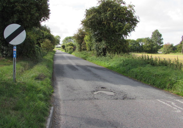
Image: © Jaggery Taken: 15 Sep 2018
A sign https://www.geograph.org.uk/photo/5909312 near the camera on the corner of Green Drove shows that this is the road to Everleigh and Andover. The label on the National Speed Limit sign's pole shows that the road ahead is part of National Cycle Network Route 45 which extends for 435km (270 miles) from Chester to Salisbury. Here in Wiltshire, Route 45 links Swindon with Salisbury via the World Heritage site at Avebury and crosses the North Wessex Downs and Salisbury Plain.
Images are licensed for reuse under creativecommons.org/licenses/by-sa/2.0
Image Location
Latitude
51.333822
Longitude
-1.766985