View North along the Ummeracam River
Introduction
The photograph on this page of View North along the Ummeracam River by Eric Jones as part of the Geograph project.
The Geograph project started in 2005 with the aim of publishing, organising and preserving representative images for every square kilometre of Great Britain, Ireland and the Isle of Man.

There are currently over 7.5m images from over 14,400 individuals and you can help contribute to the project by visiting https://www.geograph.org.uk
View North along the Ummeracam River
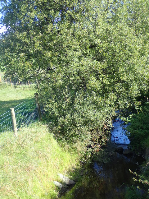
Image: © Eric Jones Taken: 12 Sep 2018
The image was taken from the Ummerinvore Bridge on the Ummerinvore Road. The Ummeracam River is one of the headwaters of the Cully Water, a tributary of the Castletown River which discharges into Dundalk Bay. Image] Image]
Images are licensed for reuse under creativecommons.org/licenses/by-sa/2.0
Image Location
Latitude
54.149692
Longitude
-6.530137