Cottage at the junction of Ummerinvore Road and Glenmore Road
Introduction
The photograph on this page of Cottage at the junction of Ummerinvore Road and Glenmore Road by Eric Jones as part of the Geograph project.
The Geograph project started in 2005 with the aim of publishing, organising and preserving representative images for every square kilometre of Great Britain, Ireland and the Isle of Man.

There are currently over 7.5m images from over 14,400 individuals and you can help contribute to the project by visiting https://www.geograph.org.uk
Cottage at the junction of Ummerinvore Road and Glenmore Road
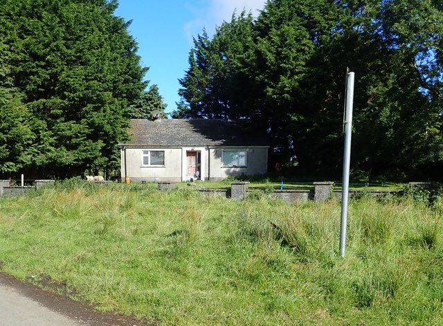
Image: © Eric Jones Taken: 12 Sep 2018
The cottage and the junction are both in Ummerinvore TD, a narrow tract of land, 220 acres in area, whose western border runs along the Belinn River. Between 1841 and 1901, the number of households in the townland dropped by 50% and the population by 77.6%.
Images are licensed for reuse under creativecommons.org/licenses/by-sa/2.0
Image Location
Latitude
54.148953
Longitude
-6.528479