Builder?s merchant?s racks, Princes Drive industrial estate, Kenilworth
Introduction
The photograph on this page of Builder?s merchant?s racks, Princes Drive industrial estate, Kenilworth by Robin Stott as part of the Geograph project.
The Geograph project started in 2005 with the aim of publishing, organising and preserving representative images for every square kilometre of Great Britain, Ireland and the Isle of Man.

There are currently over 7.5m images from over 14,400 individuals and you can help contribute to the project by visiting https://www.geograph.org.uk
Builder?s merchant?s racks, Princes Drive industrial estate, Kenilworth
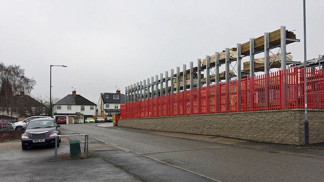
Image: © Robin Stott Taken: 22 Dec 2017
This estate is tucked away on the Coventry side of the town. The houses front on to Crackley Hill, A429. Hope I've got my apostrophes right! Princes is without one.
Images are licensed for reuse under creativecommons.org/licenses/by-sa/2.0
Image Location


Leaflet Map data © OpenStreetMap
Latitude
52.358857
Longitude
-1.567223