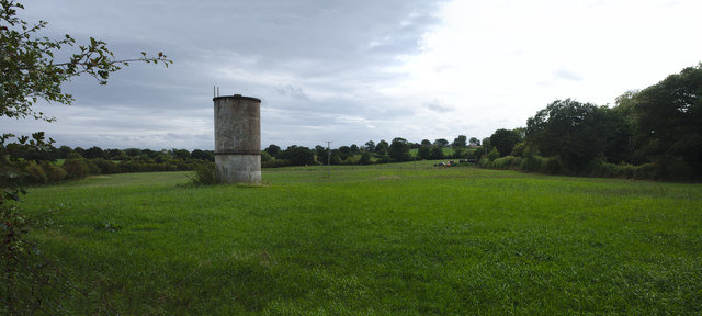
Modest water tower
Introduction
The photograph on this page of Modest water tower by Bob Harvey as part of the Geograph project.
The Geograph project started in 2005 with the aim of publishing, organising and preserving representative images for every square kilometre of Great Britain, Ireland and the Isle of Man.
There are currently over 7.5m images from over 14,400 individuals and you can help contribute to the project by visiting https://www.geograph.org.uk

Image: © Bob Harvey Taken: 10 Sep 2018
I had no idea what this is. I thought when I saw it it was a Tunnel Vent, but there are no tunnels hereabouts that I know of. So perhaps it is some sort of agricultural silo, or cold war leftover, I wondered. My best guess was a modest water tower. Fellow Geographist Brian Robert Marshall points out that "The OS 1:2500 map of 1971 shows it as a 'tank' it also shows a pump about 50 metres south-west of it, so probably a water storage facility."

