Former harbour buildings, Inverkeithing
Introduction
The photograph on this page of Former harbour buildings, Inverkeithing by David Robinson as part of the Geograph project.
The Geograph project started in 2005 with the aim of publishing, organising and preserving representative images for every square kilometre of Great Britain, Ireland and the Isle of Man.

There are currently over 7.5m images from over 14,400 individuals and you can help contribute to the project by visiting https://www.geograph.org.uk
Former harbour buildings, Inverkeithing
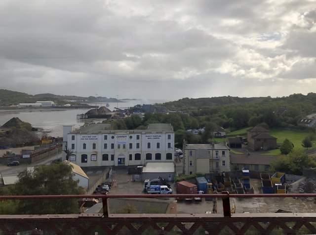
Image: © David Robinson Taken: 13 Sep 2018
Inverkeithing harbour was most notable as a shipbreaking centre. Notable vessels that were broken up here include Mauretania. While the Fife Coalfield was operational the harbour was used for the shipping of coal. The large harbourside building pictured is now a furniture store.
Images are licensed for reuse under creativecommons.org/licenses/by-sa/2.0
Image Location
Latitude
56.022554
Longitude
-3.40329