Stocks Barn, Gloucester Road, Standish near Stonehouse
Introduction
The photograph on this page of Stocks Barn, Gloucester Road, Standish near Stonehouse by Jaggery as part of the Geograph project.
The Geograph project started in 2005 with the aim of publishing, organising and preserving representative images for every square kilometre of Great Britain, Ireland and the Isle of Man.

There are currently over 7.5m images from over 14,400 individuals and you can help contribute to the project by visiting https://www.geograph.org.uk
Stocks Barn, Gloucester Road, Standish near Stonehouse
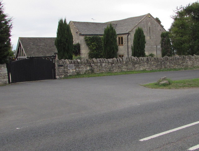
Image: © Jaggery Taken: 16 Sep 2018
Former barn converted to residential use viewed across the B4008 Gloucester Road.
Images are licensed for reuse under creativecommons.org/licenses/by-sa/2.0
Image Location
Latitude
51.766476
Longitude
-2.279336