Hay fields in the Townland of Carrickrovaddy
Introduction
The photograph on this page of Hay fields in the Townland of Carrickrovaddy by Eric Jones as part of the Geograph project.
The Geograph project started in 2005 with the aim of publishing, organising and preserving representative images for every square kilometre of Great Britain, Ireland and the Isle of Man.

There are currently over 7.5m images from over 14,400 individuals and you can help contribute to the project by visiting https://www.geograph.org.uk
Hay fields in the Townland of Carrickrovaddy
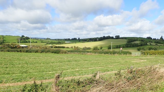
Image: © Eric Jones Taken: 12 Sep 2018
The area illustrated is one of drumlins moulded by the Quaternary ice sheets which overlay the country rocks which are of the Gala and Hawick Group of Silurian rocks. To the south the area borders on the Palaeogene intrusive igneous rocks of the Ring of Gullion. The townland is also known as Doresy (McDonald).
Images are licensed for reuse under creativecommons.org/licenses/by-sa/2.0
Image Location
Latitude
54.159551
Longitude
-6.542953