Waterloo Road in Wolverhampton
Introduction
The photograph on this page of Waterloo Road in Wolverhampton by Roger Kidd as part of the Geograph project.
The Geograph project started in 2005 with the aim of publishing, organising and preserving representative images for every square kilometre of Great Britain, Ireland and the Isle of Man.

There are currently over 7.5m images from over 14,400 individuals and you can help contribute to the project by visiting https://www.geograph.org.uk
Waterloo Road in Wolverhampton
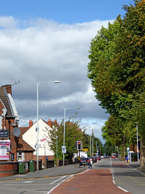
Image: © Roger Kidd Taken: 13 Sep 2018
This shows Waterloo Road at the junction with Staveley Road and Dunkley Road. Off to the right is the Asda stores, and behind the camera is Molineux Stadium. Looking north towards the A449 Stafford Road.
Images are licensed for reuse under creativecommons.org/licenses/by-sa/2.0
Image Location
Latitude
52.592955
Longitude
-2.131043