Bryn Seiriol Road
Introduction
The photograph on this page of Bryn Seiriol Road by Eric Jones as part of the Geograph project.
The Geograph project started in 2005 with the aim of publishing, organising and preserving representative images for every square kilometre of Great Britain, Ireland and the Isle of Man.

There are currently over 7.5m images from over 14,400 individuals and you can help contribute to the project by visiting https://www.geograph.org.uk
Bryn Seiriol Road
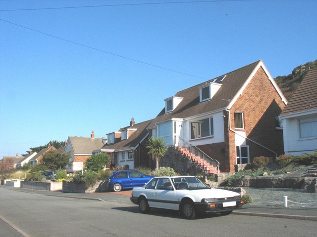
Image: © Eric Jones Taken: 20 Oct 2007
This road is named after the saint whose home was on Ynys Seiriol (Puffin Island in English) which is visible from this street.Image
Images are licensed for reuse under creativecommons.org/licenses/by-sa/2.0
Image Location


Leaflet Map data © OpenStreetMap
Latitude
53.302336
Longitude
-3.83086