The Hideaway, Furze Hill
Introduction
The photograph on this page of The Hideaway, Furze Hill by Simon Carey as part of the Geograph project.
The Geograph project started in 2005 with the aim of publishing, organising and preserving representative images for every square kilometre of Great Britain, Ireland and the Isle of Man.

There are currently over 7.5m images from over 14,400 individuals and you can help contribute to the project by visiting https://www.geograph.org.uk
The Hideaway, Furze Hill
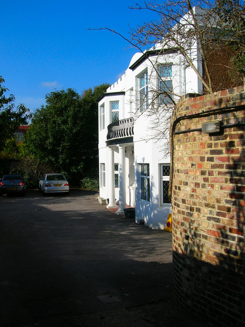
Image: © Simon Carey Taken: 21 Oct 2007
The one remaining part of the former Wick Estate left standing now shared by a Property Surveyor and a BUPA clinic.
Images are licensed for reuse under creativecommons.org/licenses/by-sa/2.0
Image Location


Leaflet Map data © OpenStreetMap
Latitude
50.82837
Longitude
-0.158061