Historical Evidence
Introduction
The photograph on this page of Historical Evidence by Ian Paterson as part of the Geograph project.
The Geograph project started in 2005 with the aim of publishing, organising and preserving representative images for every square kilometre of Great Britain, Ireland and the Isle of Man.

There are currently over 7.5m images from over 14,400 individuals and you can help contribute to the project by visiting https://www.geograph.org.uk
Historical Evidence
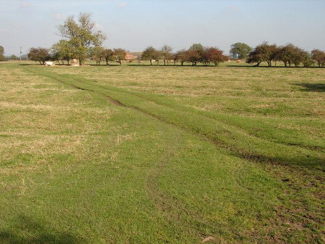
Image: © Ian Paterson Taken: 21 Oct 2007
Seems like this field was subject to strip farming at one time. The bull in the distance is none the wiser.
Images are licensed for reuse under creativecommons.org/licenses/by-sa/2.0
Image Location


Leaflet Map data © OpenStreetMap
Latitude
53.33597
Longitude
-0.462295