'The Music House', Trinity School
Introduction
The photograph on this page of 'The Music House', Trinity School by Rose and Trev Clough as part of the Geograph project.
The Geograph project started in 2005 with the aim of publishing, organising and preserving representative images for every square kilometre of Great Britain, Ireland and the Isle of Man.

There are currently over 7.5m images from over 14,400 individuals and you can help contribute to the project by visiting https://www.geograph.org.uk
'The Music House', Trinity School
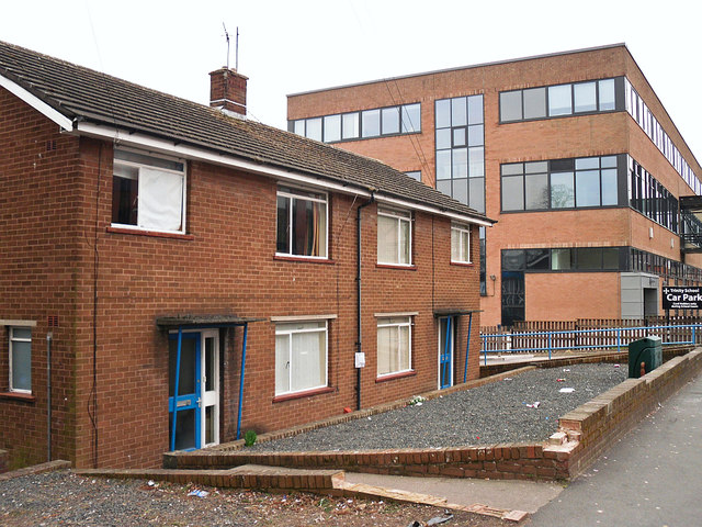
Image: © Rose and Trev Clough Taken: 3 Mar 2013
Semi-detached houses in Strand Road. Named on older maps as 'School House' and 'College House', presumably homes for caretakers of the neighbouring establishments (the building on the right is part of Carlisle College). The houses were used in later years as music practice rooms for Trinity School, but were no longer needed after new facilities were built in 2012. The properties were demolished a few years after this photo was taken.
Images are licensed for reuse under creativecommons.org/licenses/by-sa/2.0
Image Location
Latitude
54.896516
Longitude
-2.930053