St. Andrew's Methodist Church, Robin Lane, Pudsey
Introduction
The photograph on this page of St. Andrew's Methodist Church, Robin Lane, Pudsey by Stephen Armstrong as part of the Geograph project.
The Geograph project started in 2005 with the aim of publishing, organising and preserving representative images for every square kilometre of Great Britain, Ireland and the Isle of Man.

There are currently over 7.5m images from over 14,400 individuals and you can help contribute to the project by visiting https://www.geograph.org.uk
St. Andrew's Methodist Church, Robin Lane, Pudsey
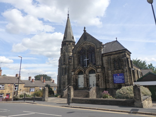
Image: © Stephen Armstrong Taken: 11 Aug 2018
There is an OS Cut Benchmark on the far end of the boundary wall. See Image I had to take the photograph from this side because of the direction of the sun.
Images are licensed for reuse under creativecommons.org/licenses/by-sa/2.0
Image Location


Leaflet Map data © OpenStreetMap
Latitude
53.79598
Longitude
-1.661121