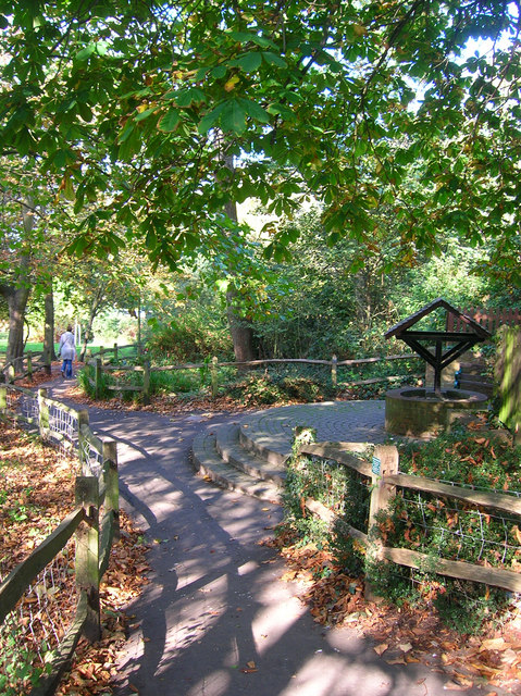
St Ann's Well Gardens
Introduction
The photograph on this page of St Ann's Well Gardens by Simon Carey as part of the Geograph project.
The Geograph project started in 2005 with the aim of publishing, organising and preserving representative images for every square kilometre of Great Britain, Ireland and the Isle of Man.
There are currently over 7.5m images from over 14,400 individuals and you can help contribute to the project by visiting https://www.geograph.org.uk

Image: © Simon Carey Taken: 21 Oct 2007
The replica well marks the spot of the chalybeate spring which still trickles through the park to the pond. During the 18th century the spring began gushing forth greater torrents of water at a time when health spas were becoming fashionable. A pump house was built on the site in 1800 (See http://www.mybrightonandhove.org.uk/page_id__7600_img__10106_path__0p114p127p1380p.aspx for an old postcard) which remained until pulled down in 1935. By then other wells sunk in the area had reduced the stream to a trickle again.
Image Location


