Great Missenden: A413
Introduction
The photograph on this page of Great Missenden: A413 by Nigel Cox as part of the Geograph project.
The Geograph project started in 2005 with the aim of publishing, organising and preserving representative images for every square kilometre of Great Britain, Ireland and the Isle of Man.

There are currently over 7.5m images from over 14,400 individuals and you can help contribute to the project by visiting https://www.geograph.org.uk
Great Missenden: A413
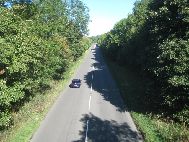
Image: © Nigel Cox Taken: 13 Sep 2018
The A413 Great Missenden bypass was built in the 1960s, and cut off the church from the village, so a bridge carrying Church Lane to the church had to be included in the works. This is the view from the bridge and duplicates Jeremy Bolwell's Image] taken 9 months previously.
Images are licensed for reuse under creativecommons.org/licenses/by-sa/2.0
Image Location
Latitude
51.701181
Longitude
-0.70038