The Cliff, Salisbury
Introduction
The photograph on this page of The Cliff, Salisbury by Derek Harper as part of the Geograph project.
The Geograph project started in 2005 with the aim of publishing, organising and preserving representative images for every square kilometre of Great Britain, Ireland and the Isle of Man.

There are currently over 7.5m images from over 14,400 individuals and you can help contribute to the project by visiting https://www.geograph.org.uk
The Cliff, Salisbury
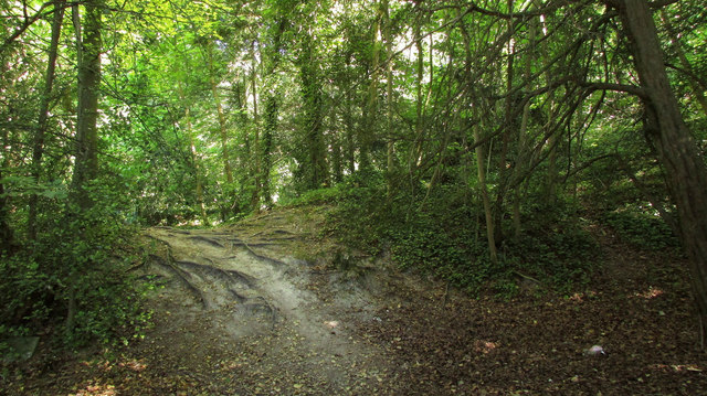
Image: © Derek Harper Taken: 30 Jun 2018
A wood east of the Old Blandford Road and north of Bouverie Avenue, forming the grounds of The Cliff, which was in 1928 bought by the War Office.
Images are licensed for reuse under creativecommons.org/licenses/by-sa/2.0
Image Location
Latitude
51.058012
Longitude
-1.801045