Gipsy Hill
Introduction
The photograph on this page of Gipsy Hill by Stephen McKay as part of the Geograph project.
The Geograph project started in 2005 with the aim of publishing, organising and preserving representative images for every square kilometre of Great Britain, Ireland and the Isle of Man.

There are currently over 7.5m images from over 14,400 individuals and you can help contribute to the project by visiting https://www.geograph.org.uk
Gipsy Hill
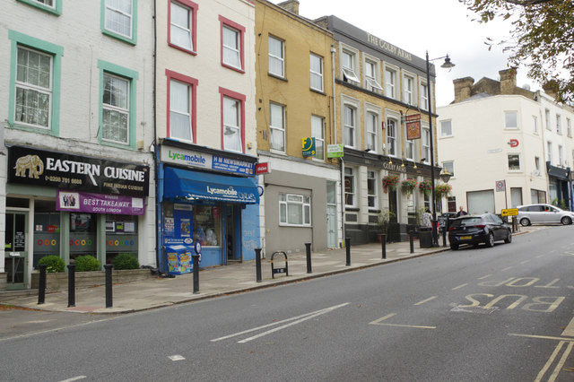
Image: © Stephen McKay Taken: 6 Sep 2018
Looking up Gipsy Hill towards Gipsy Hill station with the Colby Arms on the junction with Colby Road. The origin of the name 'Gipsy Hill' is obscure but may be derived from a population of gipsies that lived in what was then part of the Great North Wood.
Images are licensed for reuse under creativecommons.org/licenses/by-sa/2.0
Image Location
Latitude
51.424854
Longitude
-0.08369