New housing at St Mary's Park
Introduction
The photograph on this page of New housing at St Mary's Park by Mat Fascione as part of the Geograph project.
The Geograph project started in 2005 with the aim of publishing, organising and preserving representative images for every square kilometre of Great Britain, Ireland and the Isle of Man.

There are currently over 7.5m images from over 14,400 individuals and you can help contribute to the project by visiting https://www.geograph.org.uk
New housing at St Mary's Park
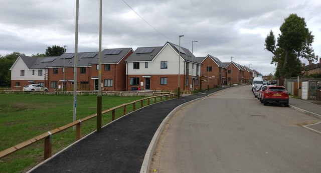
Image: © Mat Fascione Taken: 9 Sep 2018
St Mary's Park is a new housing development, built on the site of the former St Mary's Allotments. Image, same view taken nearly 6 months earlier. Image, same view taken nearly 15 months earlier.
Images are licensed for reuse under creativecommons.org/licenses/by-sa/2.0
Image Location
Latitude
52.613543
Longitude
-1.138924