
Approaching Prospect Farm, Wedgnock Old Park north of Warwick
Introduction
The photograph on this page of Approaching Prospect Farm, Wedgnock Old Park north of Warwick by Robin Stott as part of the Geograph project.
The Geograph project started in 2005 with the aim of publishing, organising and preserving representative images for every square kilometre of Great Britain, Ireland and the Isle of Man.

There are currently over 7.5m images from over 14,400 individuals and you can help contribute to the project by visiting https://www.geograph.org.uk
Approaching Prospect Farm, Wedgnock Old Park north of Warwick
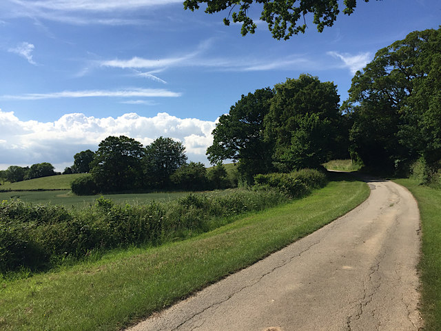
Image: © Robin Stott Taken: 11 Jun 2018
This private road and public bridleway gives a gentle climb from the Avon valley on to the Arden plateau. Never named on maps it was probably the route from Warwick Castle, a continuation of Cape Road as a track into its northern deer park, now shown on maps as Wedgnock Old Park. Today it leads to Prospect Farm, Deer Park Farm and Bulloak Farm. To the east a rifle range is first shown on a map of 1905, perhaps from the time of the Boer War.
Images are licensed for reuse under creativecommons.org/licenses/by-sa/2.0
Image Location

Latitude
52.305056
Longitude
-1.607346